
When we think of cemetery maps, the first thing that usually comes to mind is a small printed map given to visitors, helping them navigate their way to a service, monument, or burial site. While pocket maps are helpful, digital cemetery mapping as part of a robust cemetery software solution is becoming an indispensable tool that delivers business benefits far beyond easy navigation or even a kiosk experience.
With cost-effective mapping capabilities and technologies such as Google Maps and ESRI now more accurate and reliable than ever, digital mapping changes the way cemeteries do business. For the contemporary cemetery, grounds mapping is quickly becoming an expected requirement. Here’s why:
Efficient Utilization of Cemetery Space
The cemetery industry is under continual pressure to create more available spaces and optimize available inventory. Planning the optimal layout of a cemetery or gardens will ensure that land is used efficiently to provide as many resting and memorial spaces as possible. With limited land available, careful spatial planning also assists in leveraging good revenues per area.
Better Visibility and Inventory Management
Graphically view and manage your inventory across the entire cemetery or for selected areas. An accurate graphic representation allows you to provide your sales teams with the ability to view stock availability from their desks or while walking the cemetery and provide customers with a personalized showcase of your inventory to match their specific needs and requests.
Streamline Ground Works and Operations
Make your grounds team more efficient by using the cemetery map to find and identify locations quickly and accurately. Making the space dimensions available to the grounds team allows them to plan grounds service without the risk of a surprise at the time of excavating. A detailed digital map of the grounds easily identifies flora growth, age, and root movement to protect against damage to graves and cemetery infrastructure.
Is Digital Mapping Right for My Cemetery?
A digital mapping solution can help your cemetery or gardens do business more efficiently. Whether you have an existing mapping solution or are looking for cemetery mapping software – the data behind digital mapping is, for the most part, the same; what varies is the interface and functionality provided. Mapping solutions can utilize Google Maps and ESRI technology, providing comprehensive functionality for your business.
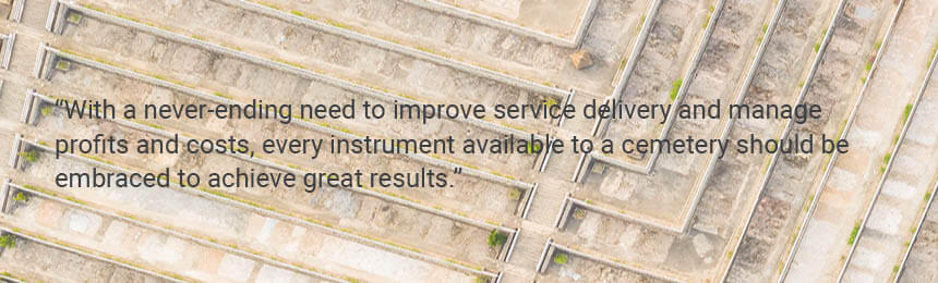
With a never-ending need to improve service delivery and manage profits and costs, every instrument available to a cemetery should be embraced to achieve great results.