A cemetery mapping solution can help your business do better, but what else can you expect? How does this solution provide the practical functionality you need to manage your cemetery better?
Here are 7 ways in which digital cemetery mapping provides practical functionality for managing your site:
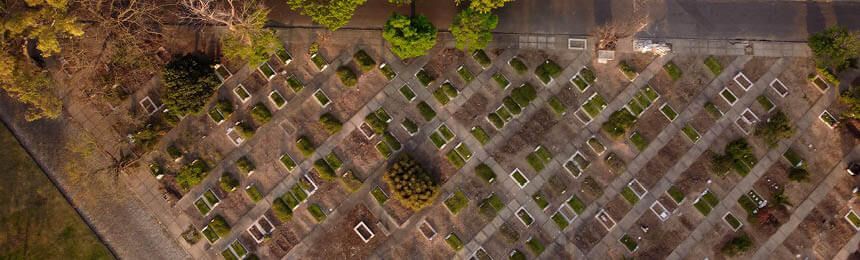
1. GPS
Digital maps of your grounds with GPS locations can be updated through handheld mobile devices, geotechnical devices, and auto-calculated based on cemetery layout. Providing an accurate geospatial map of your grounds, allowing you to best utilize and plan your space.
These maps can also be printed onto daily works documents for the grounds teams and onto location maps for visitors to find their way around the cemetery easily.
2. Mobility: Anytime Anywhere
View your cemetery maps anywhere and anytime through any desktop browser and mobile device. All you need is a device and an internet connection (including mobile internet). This information is vital for your team as they are updated instantly without confirming with the office; for example, is this a plot that is still available.
4. Location Detail
Link detailed information to every location in your cemetery and view this detail on your maps at the click of a button. For your sales team, this means they could see all available plots in an instance by location. For visitors, it can provide information on Points of Interest within the grounds.
4. On-Screen Measurements
Drag and drop pins on your screen to measure distance or area on the fly either at your desk or in the field without a tape measure. Managing your cemetery and grounds has never been easier from your desk.
5. Points of Interest
Add significant locations in your cemetery – these could be architectural, historical, or social; allow visitors and staff to view them and the interesting facts about them through your maps. This technology can also be used to provide self-guided tours for visitors and grow community engagement and interest in your grounds.
6. Deceased Search
Provide visitors with an easy way to find the location of loved ones through kiosks, computers, or mobile devices and provide them the ability to navigate to the location easily. Email/text this information directly to visitors so they can navigate their own way through the grounds.
7. Images
Add any image to your cemetery records and display them through your maps. This can be used to show photos of deceased persons or headstones to capture family history and relationships. Or use it to showcase the cemetery’s Points of Interest. Making your maps more interesting for your local community and increasing community and customer engagement.
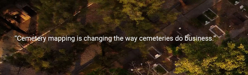
The key functionality above is just some of what you can expect with a mapping solution and how you can streamline many of your business processes with this technology. Cemetery mapping is changing the way cemeteries do business; with a never-ending need to improve service delivery and to manage revenues and costs, every tool available to a cemetery should be embraced to achieve great results.
If you would like to learn more about Digital Cemetery Mapping – you can download our eBook today